 |
|
William Brach Giles |
Welcome...
Giles
County was was formed on 1st May 1806 by
an act of the General Assembly of
Virginia that was passed on 16 January
1806. It was named for William Branch
Giles, United States Senator from
Virginia at that time. It was formed
from the counties of Montgomery, Monroe
(now in West Virginia), and Tazewell. On
2 January 1808 the General Assembly
passed an act adding a part of Wythe
County to Giles, effective 1 March 1808.
During that same session, by an act
passed on 7 January 1808, the town of
Pearisburg was established.
The next change to the boundaries of
Giles County came in 1824 when it
contributed to the formation of Logan
County (now West Virginia). Another
boundary change came in 1830 when a part
of Monroe County was added to Giles, in
1841 a small strip was added to Giles
from Mercer County (now West Virginia).
Then in 1851 a part of Giles was taken
for the formation of Craig County and in
1858 another strip from Giles was added
to Craig. In 1861 a large portion of
Giles was taken for the formation of
Bland County and it was not until March
1900 that Giles County gained its
permanent boundary with Bland.
In addition to the counties above, the
original area that was Giles County now
embraces the whole or parts of the West
Virginia counties of Summers, Raleigh,
Wyoming, Fayette, Boone and even a tiny
part of Kanawha.
Settlers in the New River, Bluestone,
Guyandotte and Coal river settlements,
like all settlers in the burgeoning
frontier areas, were pressing westward
faster than their government and clergy
could follow them. New counties sprung
up like mushrooms in the night, but
never quite close enough, soon enough.
Pearisburg was closer than
Christiansburg, but only just; for at
the time of its formation Giles County
covered a hundred miles of the New River
valley with a mean width of 30 miles for
an estimated area of 3,000 square miles.
Today, the county seat is still
Pearisburg, but Giles County now
encompasses only 356 square miles.
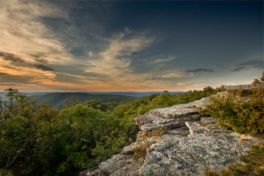
There may be but 356 square miles, but
those miles are choice. The rugged
terrain has provided some protection
from “progress”. While the wild, rugged,
empty wilderness that was once Giles
will never be again, there remain areas
of great beauty, relatively untouched.
Those who remain are mostly mountain
people, a term impossible to define. If
you’re among them, you know it; and if
you aren’t, you wouldn’t understand–so
goes the explanation. Others put it this
way: Mountains don’t belong to mountain
people; the people belong to the
mountains.
Some of us whose ancestors left the
mountains and valleys of the Great
Kanawha, carry with us still those
mountains of Virginia. We shelter now in
the Rockies, the San Juans, the Sierra
Nevada, the Olympics and Cascades. We
feel vaguely uneasy on “wide-open
plains”. We return to the fastnesses of
mountains searching for connections,
meaning, and history. And we stay to
listen to the music of the names: Little
Stony Creek, Spruce Run, Angel’s Rest,
Salt Pond Mountain, Tip Top, Walker
Mountain, Dismal Peak, Burke’s Garden.
Giles County. Virginia. – Jackie Masters
Any
records or photos you can send would be greatly
appreciated! - Giles Co. Coordinator -
Jeff Kemp |

